Uncategorized

thalian interchange

Thalian Interchange |The Missing Link in the Rawalpindi Ring Road

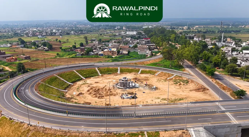
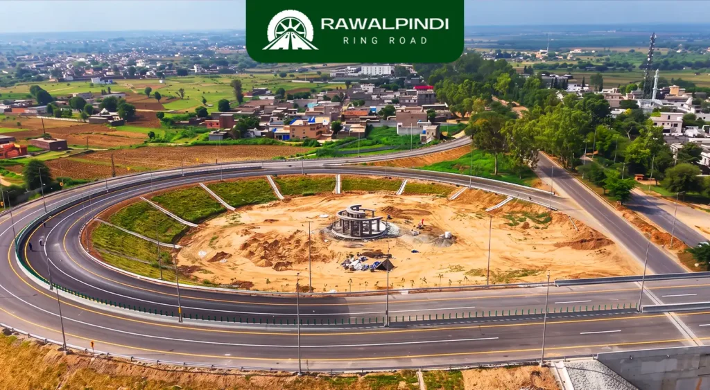
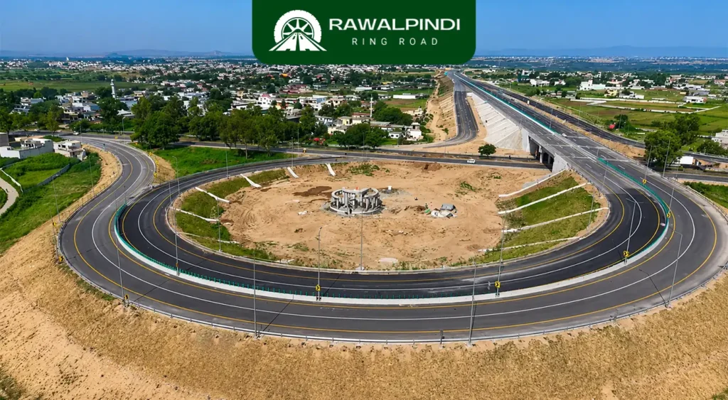
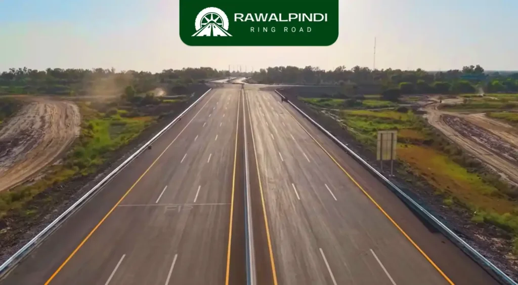
The Thalian Interchange is the fifth and final interchange on the Rawalpindi Ring Road. It’s the western terminus where the 38.6-kilometre expressway is designed to connect with the Lahore–Islamabad Motorway (M-2) and provide access toward the New Islamabad International Airport. Of all five interchanges on the Ring Road, Thalian is both the most consequential in […]

Thalian Interchange |The Missing Link in the Rawalpindi Ring Road Read More »
chakri interchange

Chakri Road Interchange | The Airport Corridor’s Access Point on the Rawalpindi Ring Road

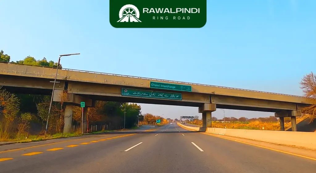
The Chakri Road Interchange is the fourth interchange on the Rawalpindi Ring Road, located on Chakri Road near the locality of Maira Shareef. It is also referred to as Kolian Parrh in some official project documentation. This interchange connects the Ring Road to Chakri Road. a corridor running south-west toward the New Islamabad International Airport,

Chakri Road Interchange | The Airport Corridor’s Access Point on the Rawalpindi Ring Road Read More »
adyala interchange

Adiala Road Interchange | The Midpoint That Connects Two Corridors

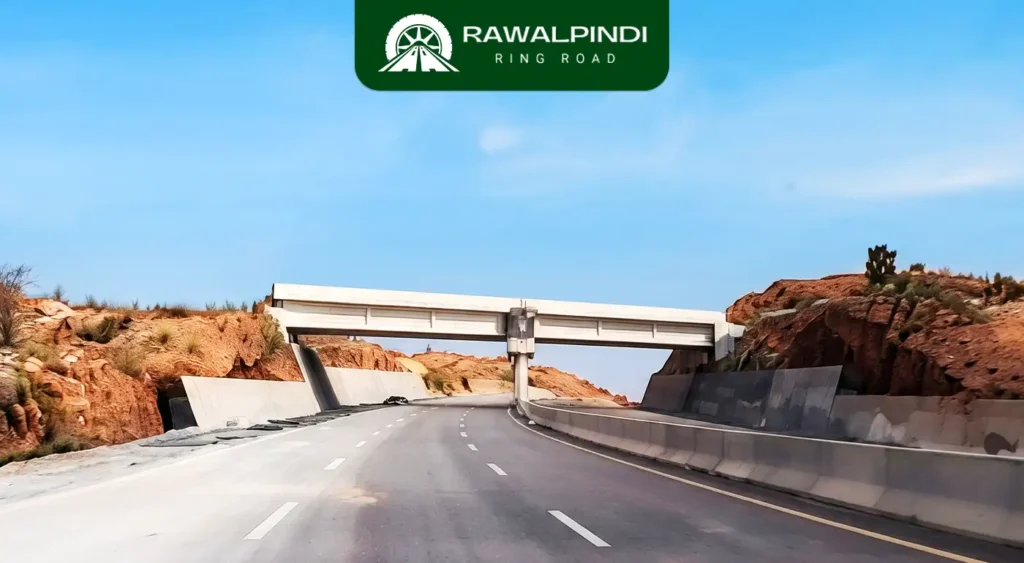
The Adiala Road Interchange referred to in official project documentation as the Khasala Interchange is the third and geographically central interchange on the Rawalpindi Ring Road. It connects the Ring Road to Adyala Road, one of Rawalpindi’s primary south-western arterial roads, at a point known locally as Khasala. Positioned at approximately the midpoint of the

Adiala Road Interchange | The Midpoint That Connects Two Corridors Read More »

banth interchange

Banth Interchange | The Entry Point of the Rawalpindi Ring Road

The Banth Interchange, locally known as Banth Mor, is the eastern starting point of the Rawalpindi Ring Road (RRR). It is on the Grand Trunk Road, officially National Highway 5 (N-5), approximately 5 to 6 kilometres from Rawat when heading toward Gujar Khan. This is where the 38.6-kilometre, six-lane, controlled-access expressway officially begins, pulling traffic

Banth Interchange | The Entry Point of the Rawalpindi Ring Road Read More »
what rawalpindi ring road completion means for your plot value in 2026

What Rawalpindi Ring Road Completion Means for Your Plot Value in 2026

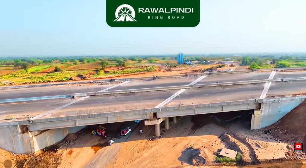
The Rawalpindi Ring Road is 90% complete and days away from opening. If you own a plot somewhere along the Adiala Road, Chakri Road, or GT Road corridor, you have probably already seen prices move. The question most plot holders and prospective buyers are asking right now about prices is how much will it increase,

What Rawalpindi Ring Road Completion Means for Your Plot Value in 2026 Read More »

industrial zone approved along rawalpindi ring road

Industrial Zone Approved Along Rawalpindi Ring Road

The Punjab Industrial Estates Development and Management Company approved the establishment of an industrial estate alongside the Rawalpindi Ring Road in May 2026, replacing an earlier proposal for a Special Economic Zone. The change was not a downgrade in ambition, but a direct response to Pakistan’s current IMF programme, under which the tax exemptions and

Industrial Zone Approved Along Rawalpindi Ring Road Read More »
rrr blog 3

Rawalpindi Ring Road | Complete Project Details and Historical Breakdown

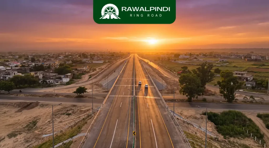
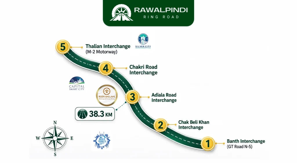
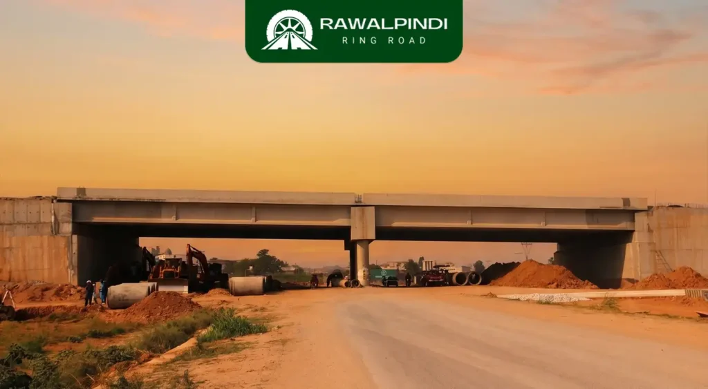
Route and Length The Rawalpindi Ring Road runs as a single corridor from the Banth interchange on GT Road (N-5) near Rawat, through Chak Beli Khan, Adiala Road, and Chakri Road, terminating at the Thalian interchange close to the M-2 Motorway and the New Islamabad International Airport. Despite its name, the current alignment is a

Rawalpindi Ring Road | Complete Project Details and Historical Breakdown Read More »

interchanges of rawalpindi ring road location and access roads

Interchanges of Rawalpindi Ring Road| Location And Access Roads.

The Rawalpindi Ring Road is a 38.6-kilometre, six-lane controlled-access expressway running from GT Road near Rawat to the M-2 Motorway near Thalian. Designed for speeds of up to 120 km/h, the entire corridor is access-controlled so you cannot enter or exit at just any point. You get on and off at five designated interchanges, and

Interchanges of Rawalpindi Ring Road| Location And Access Roads. Read More »

rawalpindi ring road map, progress update, and deadlines

Rawalpindi Ring Road Map, Progress Update, and Deadlines

http://rawalpindiringroad.com/wp-content/uploads/2026/06/WhatsApp-Video-2026-06-27-at-3.29.06-PM.mp4 The Rawalpindi Ring Road (RRR), also called the R3 Project, is a 38.6 kilometre controlled-access expressway being built to divert heavy and intercity traffic away from Rawalpindi’s city centre. It connects GT Road (N-5) near Rawat in the east to the Lahore–Islamabad Motorway (M-2) at Thalian in the west, running through the Potohar Plateau

Rawalpindi Ring Road Map, Progress Update, and Deadlines Read More »