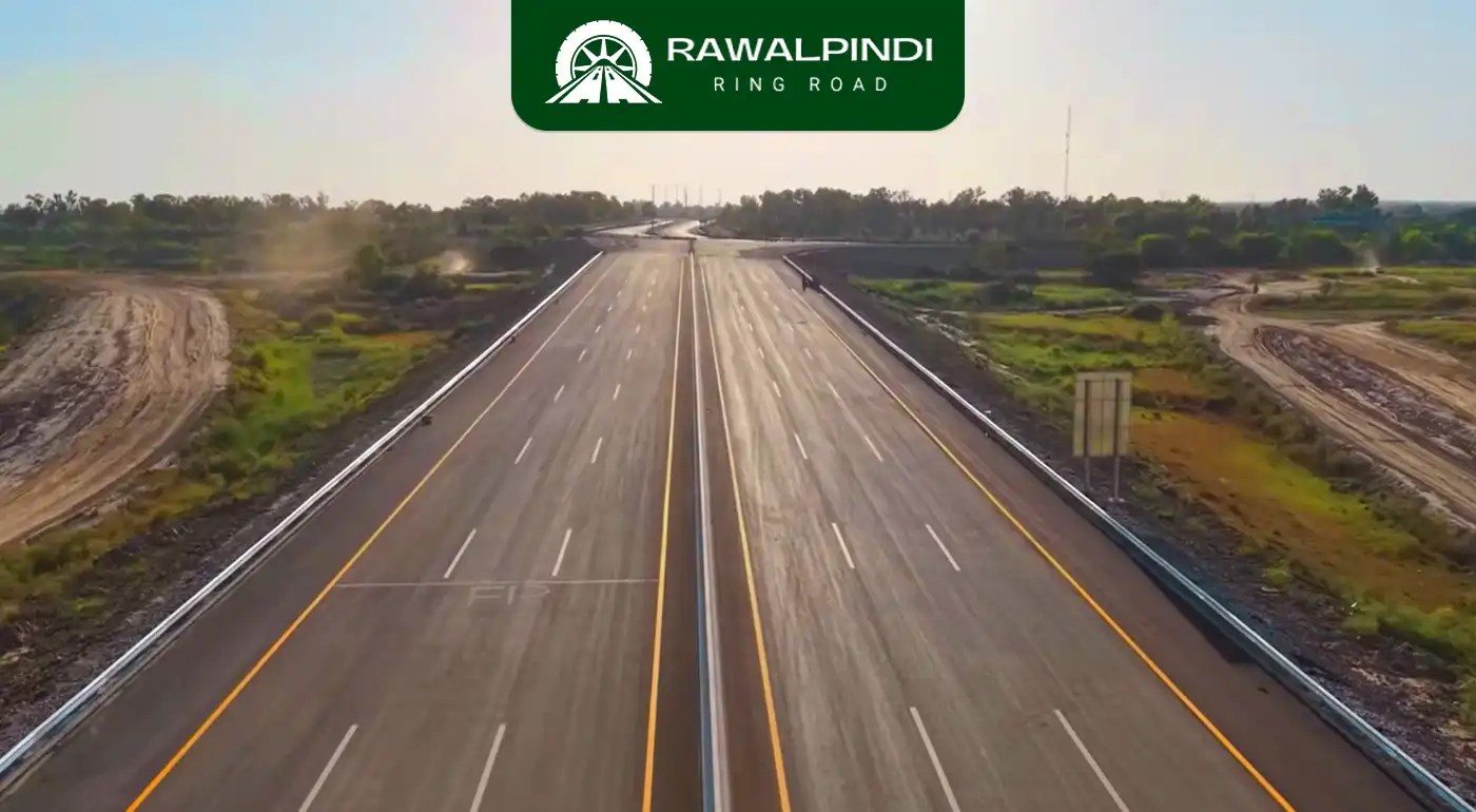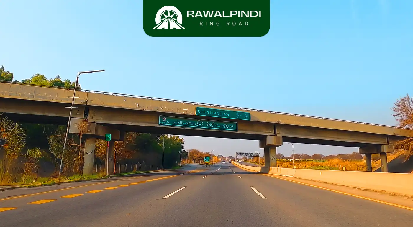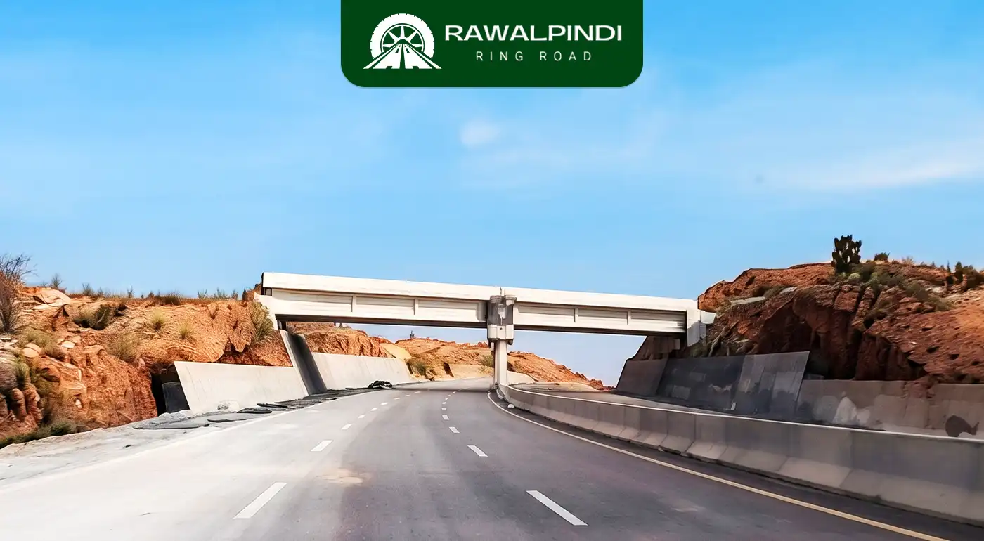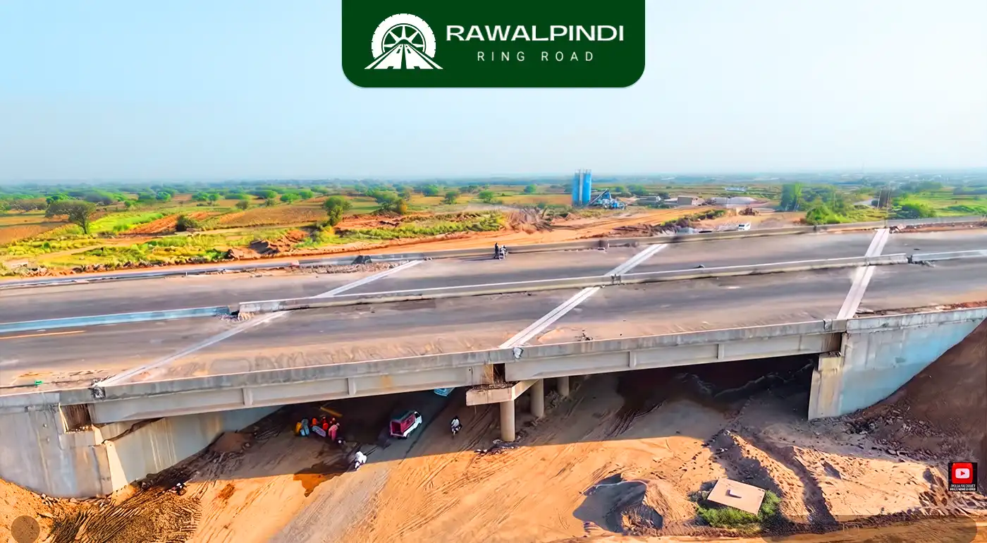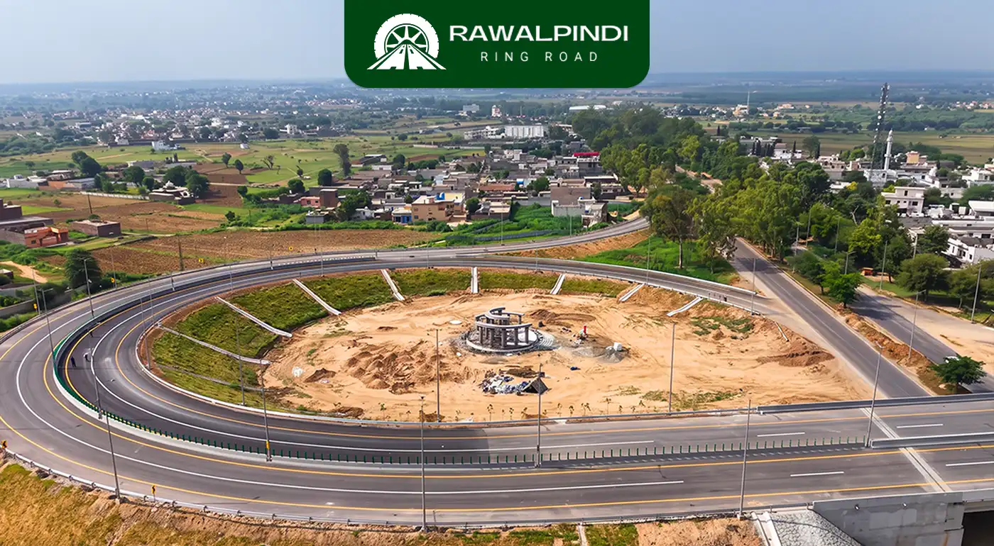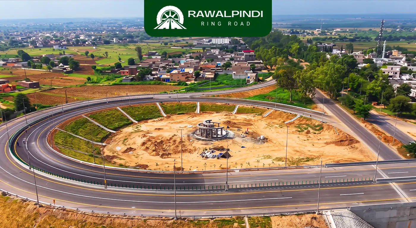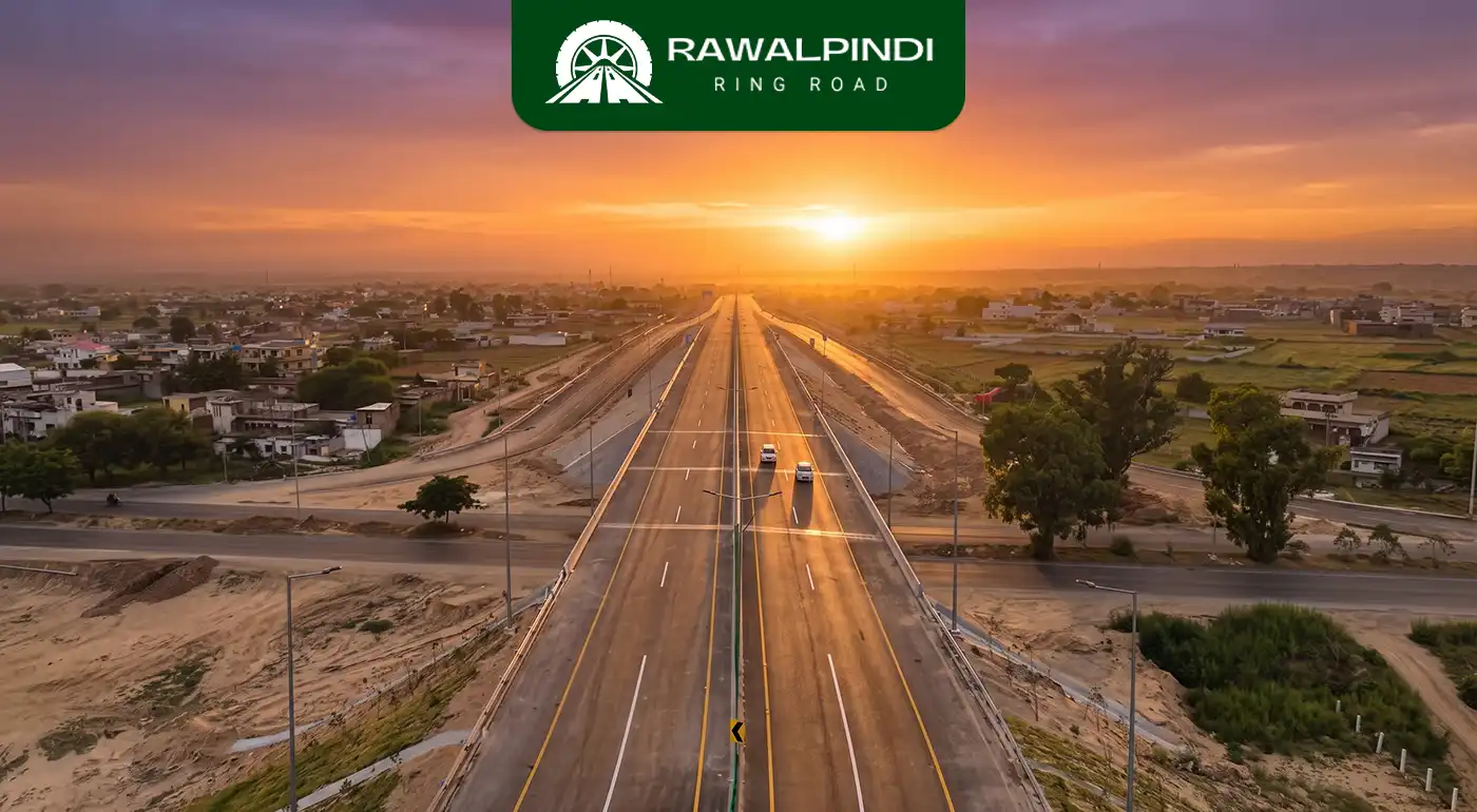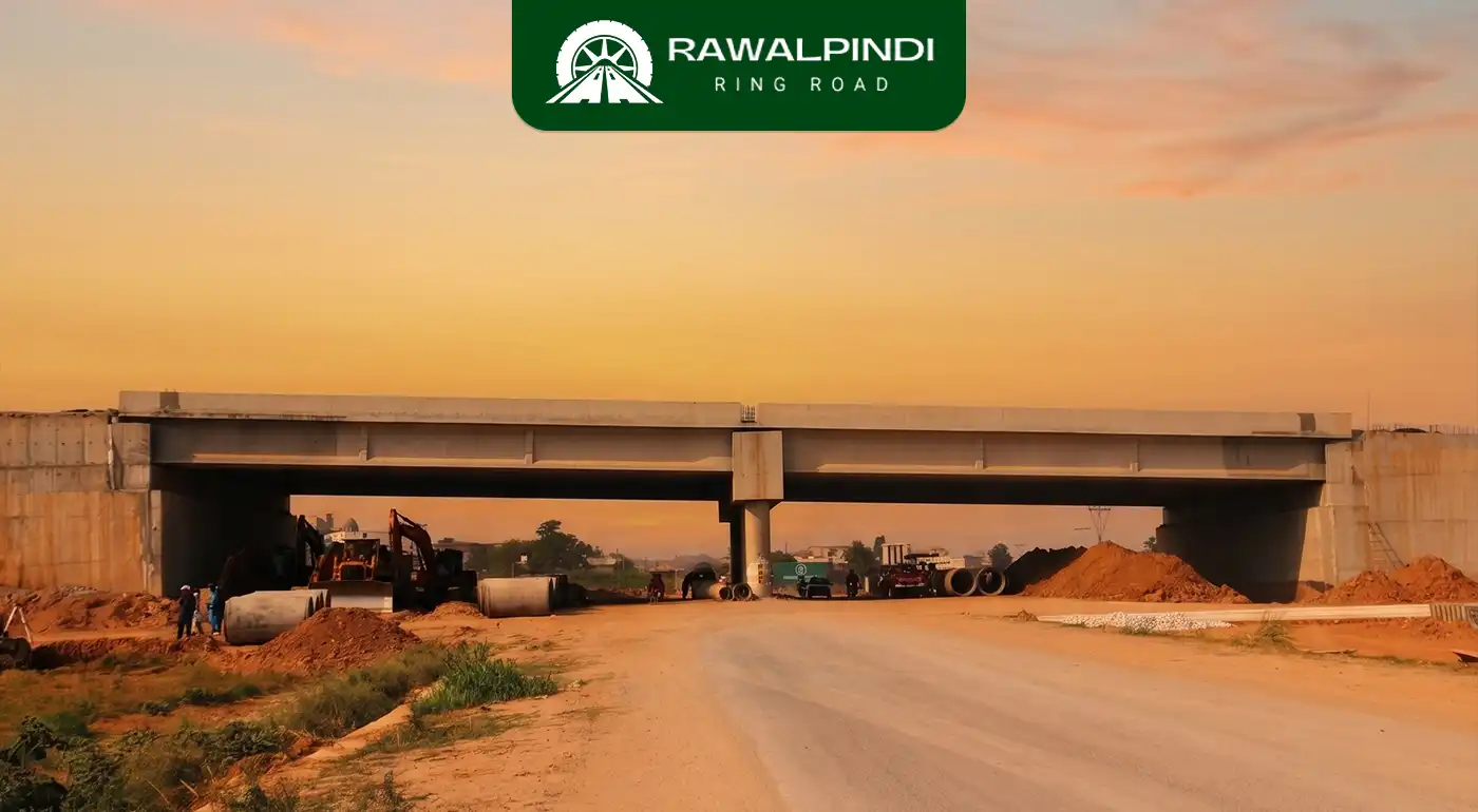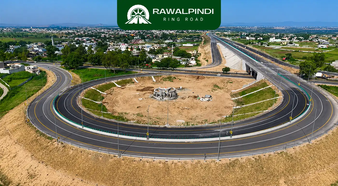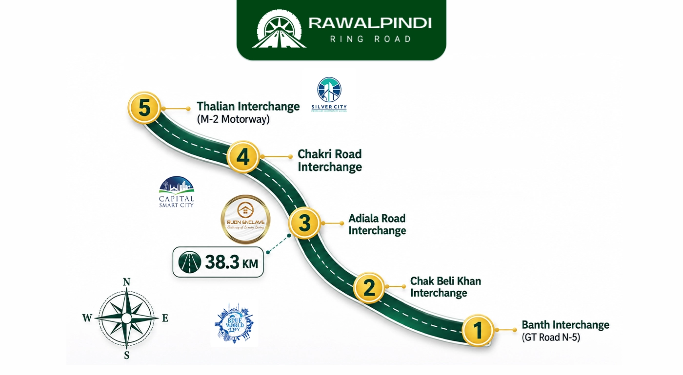
The Chak Beli Khan Interchange is the second of five interchanges on the Rawalpindi Ring Road, located on Chak Beli Khan Road at a locality called Maira Mohra. It sits between the Banth Interchange at GT Road to the east and the Adiala Road Interchange further along the corridor to the west. This interchange is the Ring Road’s first access point after it leaves the GT Road vicinity and moves into the open terrain of the Potohar Plateau.
Unlike the Banth, Adiala, and Chakri interchanges which serve areas with dense residential or commercial development, the Chak Beli Khan Interchange primarily serves an agricultural and rural population. Understanding who this interchange is actually built for, and why that matters, tells you something important about the Rawalpindi Ring Road’s broader purpose beyond property development.
About Chak Beli Khan
Chak Beli Khan is one of the largest towns in Rawalpindi District by population. It is located on the Pothohar Plateau near the Soan River and the Jabba River, and it functions as the commercial and administrative hub of more than 110 surrounding villages across the Potohar belt. It is a union council of Rawalpindi District, classified as part of PP-10 (Rawalpindi) constituency, and contains a large marketplace that draws traders and buyers from across the entire sub-region. Every necessity of daily life from household goods to agricultural inputs is available in Chak Beli Khan’s market, making it the economic lifeline of a wide rural community.
The town’s name follows the common Punjab pattern: “Chak” (چک) is an administrative or agricultural settlement designation used extensively in colonial-era land revenue surveys across Punjab, combined with the name of a prominent local individual. The area has a long documented history as a centre of Potohar agricultural life, with tribes including the Alpials historically recorded as landowners in the surrounding villages alongside the Soan River.
Significantly, the Pothohar Plateau has major oil and gas reserves, with fields drilled at Pindori, Chak Beli Khan. Oil extraction has been ongoing in this area for years, though the town’s own residents were without gas supply for a long time before a pipeline connection was eventually provided.
What the Rawalpindi Ring Road Changes for Chak Beli Khan surrounding Villages
Before the Rawalpindi Ring Road, the journey between Chak Beli Khan and Rawalpindi city ran entirely through local roads across the plateau, slow, narrow, and subject to the same congestion as any other Potohar road. The trip from Chak Beli Khan to Rawalpindi Saddar via Rawat Road takes approximately 51 kilometres and over an hour in normal conditions and via Adiala Road, it is 49 kilometres and over 90 minutes.
The Chak Beli Khan Interchange gives this community something it has never had. A controlled-access, high-speed road connection to both GT Road and the M-2 Motorway from the same corridor. For agricultural producers moving wheat, vegetables, and other goods to Rawalpindi’s markets, this means lower fuel costs, faster delivery, and significantly reduced vehicle wear compared to the current local road alternatives. For the 110-plus villages that depend on Chak Beli Khan as their marketplace, it means improved access inward, so traders and buyers from Rawalpindi can reach the Chak Beli Khan commercial area without navigating the slow local road network.
The broader connectivity matters too. TheRawalpindi Ring Road connects to GT Road at Banth in the east and the M-2 Motorway at Thalian in the west. For Chak Beli Khan, that means a through-route exists in both directions without passing through inner-city Rawalpindi at all. For heavy vehicles transporting oil or gas from the nearby fields, this is a direct route improvement to refinery and distribution facilities.
Proposed Dams in the Chak Beli Khan Area
The Punjab government has two proposed dams in the Chak Beli Khan area. This is consistent with the government’s broader strategy for the Potohar Plateau, which is a rain-fed region with limited groundwater and high dependence on surface water storage. The small dam network across Rawalpindi District which already includes Khasala Dam, Jawa Dam, Misriot Dam, and five others is being expanded as part of the province’s long-term water security planning. The Chak Beli Khan area’s topography and seasonal rainfall patterns make it suitable for additional reservoir construction alongside the Ring Road corridor.
Economic Spillover Along the Chak Beli Khan Road Corridor
The Ring Road’s development plan includes 10 economic zones along the corridor. While the densest commercial activity is expected near the Banth and Adiala interchanges, the Chak Beli Khan Interchange will anchor the agricultural logistics chain in this middle section. Industries related to food processing, agricultural storage, and supply chain management are natural fits for land near this interchange, given its position between the Potohar’s agricultural interior and the GT Road-motorway axis.
The RDA’s overall vision includes five to ten-storey commercial buildings and plazas along the entire Ring Road Rawalpindi with service roads on both sides. Whether or not that scale materialises near Chak Beli Khan in the short term, the interchange itself provides the access infrastructure on which any such development depends.
Construction Status
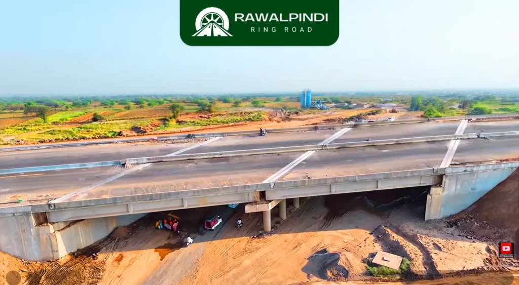
The Chak Beli Khan Interchange is confirmed complete as of June 2026. It is one of the four interchanges (alongside Banth, Adiala, and Chakri) operational at the Ring Road’s initial opening. Per RDA sources confirmed in Pakistan Today (May 2026), physical progress across all four interchanges and the main carriageway had reached 85% completion by mid-May 2026, with the final 15% consisting of lighting, signage, plantation work, and finish-level activities.
Conclusion
The Chak Beli Khan Interchange is the Ring Road’s least-discussed access point, but it serves one of the most important functions on the corridor. More than 110 villages across the Potohar Plateau depend on Chak Beli Khan as their commercial lifeline, and for the first time, those communities now have access to a controlled-access expressway connecting them directly to GT Road and the national motorway network. The agricultural output of the Potohar belt, the oil and gas activity at Pindori, and the daily commerce of one of Rawalpindi District’s largest towns all move through this interchange. It may not have the same residential buzz as Adiala or Chakri, but what happens at this interchange is as much about the economic geography of the Potohar as anything else on the Rawalpindi Ring Road.