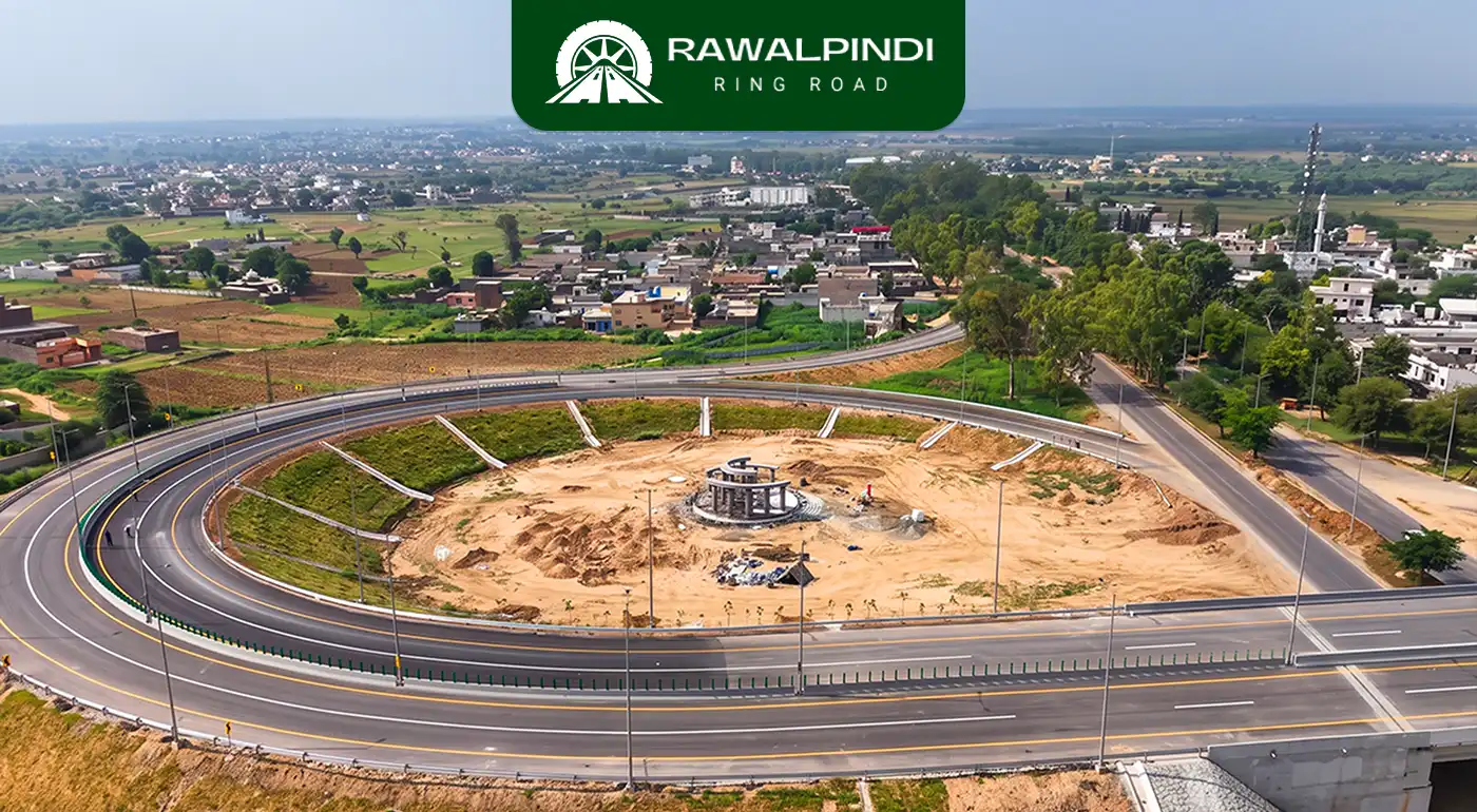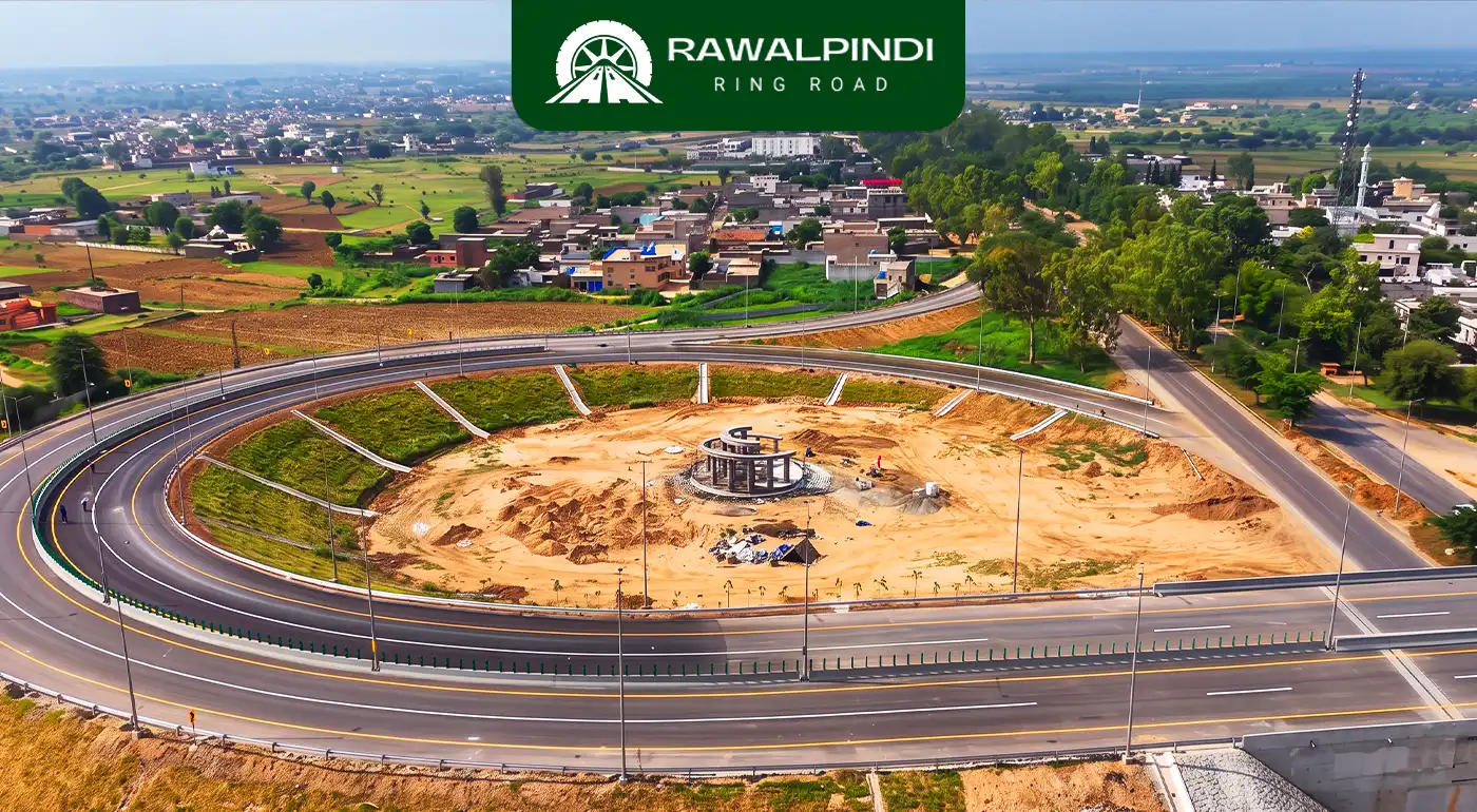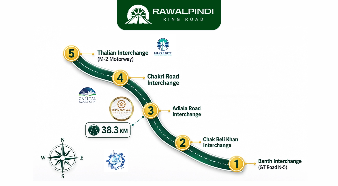

The Adiala Road Interchange referred to in official project documentation as the Khasala Interchange is the third and geographically central interchange on the Rawalpindi Ring Road. It connects the Ring Road to Adyala Road, one of Rawalpindi’s primary south-western arterial roads, at a point known locally as Khasala. Positioned at approximately the midpoint of the 38.6-kilometre corridor, it sits equidistant between the Banth Interchange at GT Road to the east and the Chakri and Thalian interchanges to the west.
This interchange is notable for two reasons. First, it is the point where the Ring Road directly intersects with Rawalpindi’s inner city via a new flyover, giving the project its most visible direct link to the commercial heart of Rawalpindi. Second, it is surrounded by more established residential infrastructure than any other interchange on the corridor, which makes its traffic and development impact the most immediate of all five.
Adiala Connecting Roads
Adiala Road begins near Rawalpindi’s Kutchery Chowk, the courts and administrative district of the city and runs south-west through Rawalpindi Cantonment boundary areas, passing Adiala Jail (Rawalpindi Central Jail), continuing through Jarrar Camp, and extending into the Potohar Plateau toward the Jawa River and Jawa Dam beyond. The road carries a mixed traffic load, civilian commuters, cantonment access, and agricultural and light-industrial traffic from the Potohar interior.
For daily commuters, Adyala Road is an important route between Rawalpindi’s administrative and residential core and the south-western belt. Before the Rawalpindi Ring Road, it had no access to any motorway or national highway without passing through the city first.
Direct City-to-Rawalpindi Ring Road Connection
The most significant infrastructure addition connected to the Adyala interchange is the Nawaz Sharif Flyover, inaugurated by Punjab Chief Minister Maryam Nawaz in July 2025. The flyover starts at Kutchery Chowk, the judicial district of Rawalpindi and runs directly to the Rawalpindi Ring Road via Adiala Road, providing a signal-free connection between the city’s administrative core and the expressway.
At the inauguration, CM Maryam Nawaz stated that this flyover-to-Ring-Road combination would cut the Rawalpindi-to-Chakri travel time by approximately one hour. This is the clearest official travel time estimate associated with any single interchange on the Ring Road and it is tied specifically to the Adyala interchange’s role as the midpoint connector.
A 2-kilometre service road runs alongside the main Ring Road Rawalpindi carriageway near this interchange to manage local access traffic between the flyover approach and the interchange proper.
Local Geography of Khasala
The Khasala interchange takes its name from the village of Khasala Kalan, which sits alongside Adiala Road at this point. The area is also defined by Khasala Dam, a Punjab Irrigation Department reservoir completed in 1985 on the Khasala Khurd River, a tributary of the Soan. The dam has a gross storage capacity of 2,415 acre-feet and a catchment area of 28.5 square kilometres, and it has been a feature of this landscape for four decades before the Rawalpindi Ring Road arrived. The presence of the reservoir gives the area a noticeably different character from the dry Potohar terrain further along the corridor, greener, with natural water visible from the roadside.
Construction Status and Service Road
The Adiala Road Interchange is confirmed complete as of June 2026. Construction on this interchange, as with the other three operational interchanges, was confirmed at 85% overall progress by mid-May 2026, with final carpeting, signage, and finishing work completing the picture through June 2026. The 2-kilometre service road flanking the interchange section is also confirmed complete, connecting the Nawaz Sharif Flyover to the Ring Road mainline.
Conclusion
The Adyala Road Interchange is the point where the Rawalpindi Ring Road becomes directly relevant to the city’s daily commuting life. While the Banth interchange draws GT Road traffic and the Chakri interchange serves the airport corridor, it is the Adiala interchange connected to Kutchery Chowk via the Nawaz Sharif Flyover that gives central Rawalpindi its most direct on-ramp to the expressway. The surrounding geography, between Khasala Dam and the Potohar Plateau, gives the area a character distinct from the rest of the corridor. And as the midpoint of a 38.6-kilometre route, this interchange connects east and west in both directions simultaneously making it the pivot around which the Ring Road’s two halves rotate.