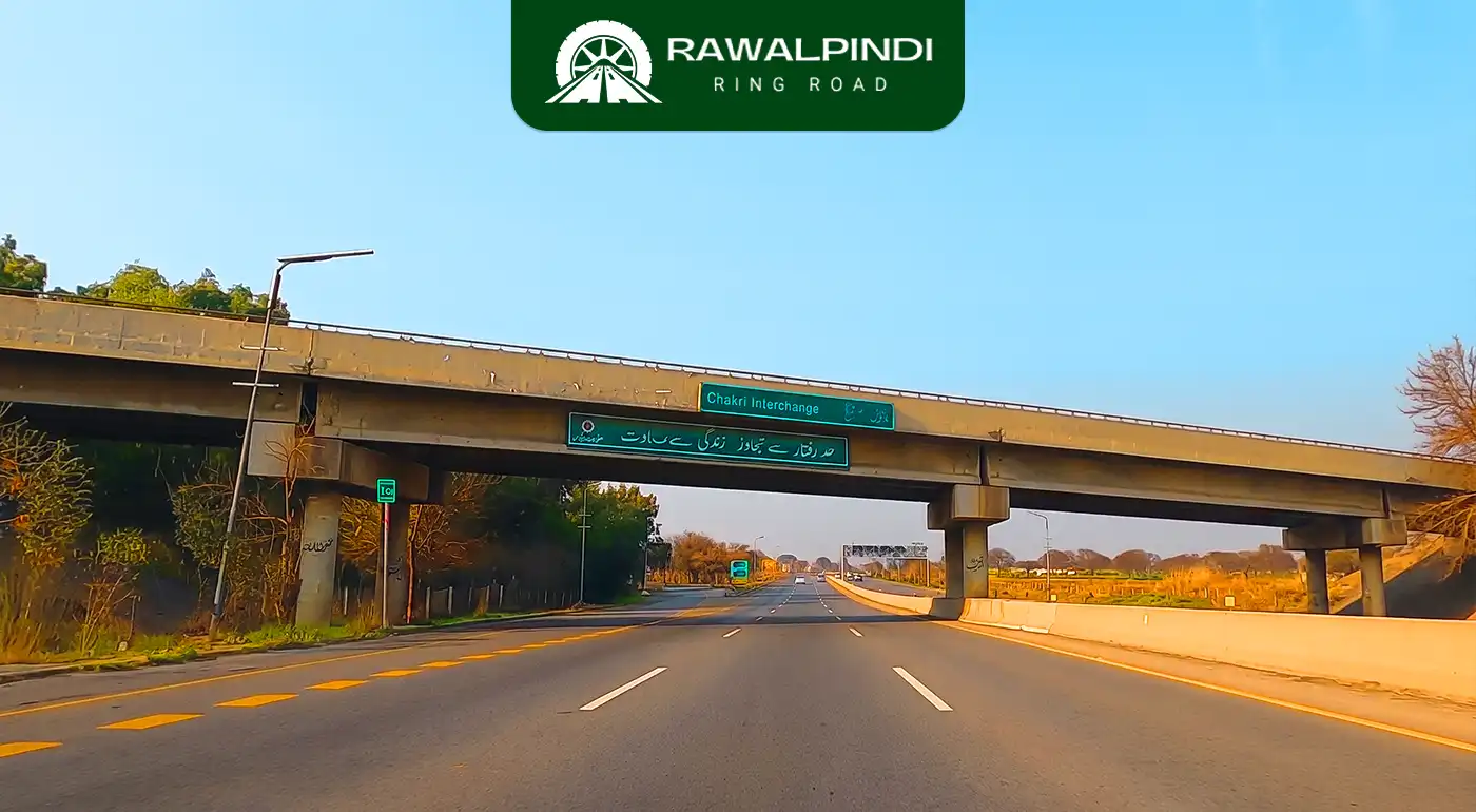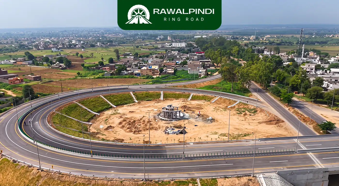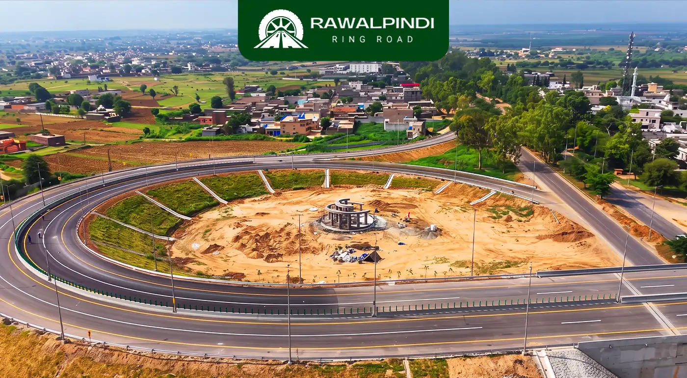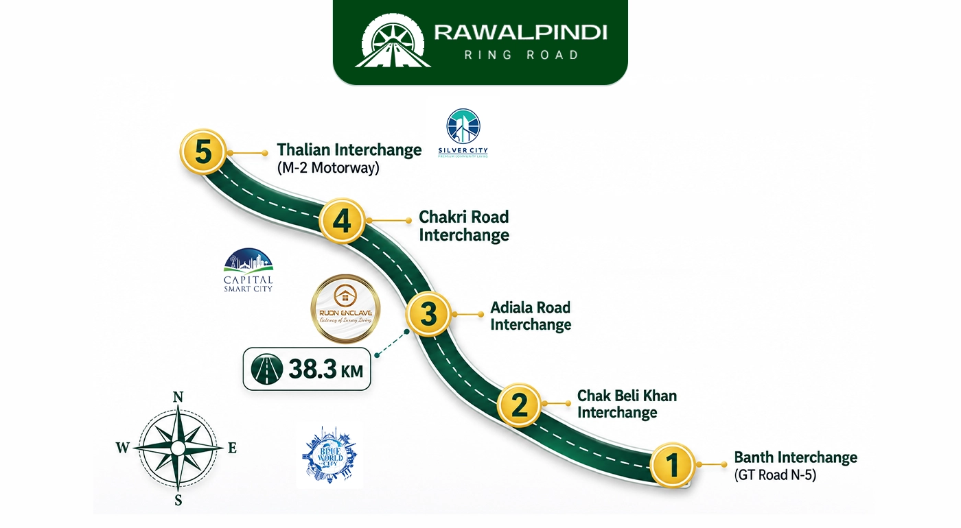
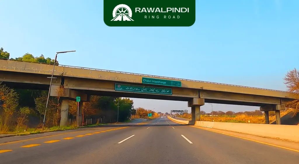
The Chakri Road Interchange is the fourth interchange on the Rawalpindi Ring Road, located on Chakri Road near the locality of Maira Shareef. It is also referred to as Kolian Parrh in some official project documentation. This interchange connects the Ring Road to Chakri Road. a corridor running south-west toward the New Islamabad International Airport, the M-2 Motorway’s Chakri Toll Plaza, and ultimately the Lahore–Islamabad Motorway junction.
In terms of strategic position on the Ring Road, the Chakri interchange is the gateway between the expressway and the airport-motorway axis to the west. Everything from the Chakri interchange westward toward Thalian is part of the Ring Road’s approach to the national motorway network. Everything eastward from this point is the corridor back to Rawalpindi via Adiala, Chak Beli Khan, and GT Road.
Why the Chakri Interchange Is Strategically the Most Connected of the Four Operational Ones
The Chakri Road Interchange sits at a unique intersection of multiple high-value access routes. From this single point, a driver can reach the New Islamabad International Airport in approximately 13 to 20 minutes via Chakri Road. The M-2 Lahore–Islamabad Motorway’s Chakri Toll Plaza is approximately 13 minutes away. Central Rawalpindi is accessible via the Ring Road in the opposite direction in approximately 31 to 32 minutes once the road is fully open. Islamabad’s main urban areas are approximately 33 minutes away.
No other interchange on the Ring Road combines airport access, motorway access, and city access in a single interchange. The Banth interchange has GT Road access but requires the full Ring Road traverse to reach the motorway. The Adiala interchange has the flyover city connection but is one interchange short of the motorway end. The Chakri interchange has all three directions available within a practical driving range.
This multi-directional connectivity is the primary reason the Chakri Road corridor has seen the most concentrated development activity of any section along the Ring Road.
The Potohar Landscape Between Adiala and Chakri
The stretch of the Ring Road between the Adiala and Chakri interchanges passes through some of the most characteristic terrain on the entire corridor. This is the open Potohar Plateau, dry, rolling hills, seasonal nullahs, sparse vegetation, and the kind of unobstructed sky that disappears quickly in a developing city. The Ring Road’s engineering scope between these two interchanges includes multiple nullah bridges and box culverts to manage seasonal flash-flood drainage across the plateau.
Chakri itself is an old Potohar settlement with a documented history in the district gazetteers of Rawalpindi, historically part of the Alpial Rajput territory along the Soan River. The name Kolian Parrh, the alternative name for this interchange, refers to the local area’s traditional designation, with “Kolian” appearing in the district gazetteer records as one of the Alpial-occupied villages in the Rawalpindi Tehsil.
The Airport Connection
The New Islamabad International Airport was deliberately located away from the twin cities’ urban core, a decision made for airspace and land use reasons but one that created a commuter problem for Rawalpindi residents and travellers. Before the Ring Road, reaching the airport from central Rawalpindi required either navigating through the city to the Islamabad Expressway or using the M-2 and backtracking. Both routes were slow at peak hours.
The Chakri interchange changes this. Rawalpindi commuters heading to the airport can enter the Ring Road at Banth from GT Road, travel the entire 38.6-kilometre corridor to the Chakri interchange, exit onto Chakri Road, and reach the airport in under 20 minutes from the interchange without entering Islamabad or passing through any major city-centre congestion point.
For residents living near the Adiala or Chakri end of the corridor, the Ring Road cuts the airport journey from a potentially 45 to 60-minute drive through city traffic to approximately 25 to 35 minutes on a controlled-access expressway.
Construction Status
The Chakri Road Interchange is confirmed complete as of June 2026 and is one of the four interchanges operational at the Ring Road’s initial opening. The physical progress across all four operational interchanges and the main carriageway reached 85–90% by mid-June 2026, with final finishing works completing the picture.
Conclusion
Of all four operational interchanges, the Chakri Road Interchange carries the most multi-directional traffic significance. It is the point where the Ring Road’s purpose shifts from a Rawalpindi city bypass in one direction to an airport and motorway access corridor in the other. For travellers, commuters, and logistics operators, 13 minutes to the M-2 Toll Plaza and under 20 minutes to the New Islamabad International Airport from a single interchange changes what is reachable from this part of the Potohar belt. Once the Thalian Interchange is complete in Phase II, the Chakri interchange will sit precisely between two full motorway-grade junctions, cementing its role as the Ring Road’s most strategically connected point.